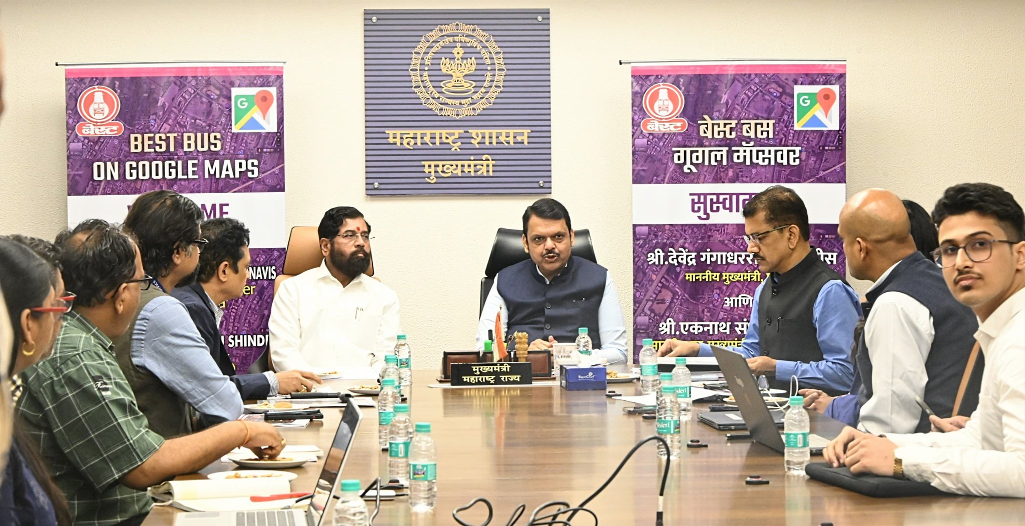
In a move aimed to give commuters slight relief, buses of the Brihanmumbai Electricity Supply and Transport (BEST) undertaking can now be tracked live on Google Maps. The service was launched by Maharashtra Chief Minister Devendra Fadnavis.
BEST will be using the General Transit Feed Specification (GTFS) format developed by Google, which is an open-source format used for pulic transport schedules. Data will be available in Marathi, Hindi and English. BEST has been working with Google for the last two months and the mechanism is also integrated with timings of both Indian Railways and Mumbai Metro.
While this is overall a good move, there is a slight downside to it. Given the present circumstances and what happened over the last few years, it is imperative that local platforms are developed as alternatives to Google.
Readers may remember that under the Joe Biden administration, the United States of American imposed sanctions on Russia, leading to huge queues on the Moscow Metro when Google Pay and Apple Pay refused to work. Of course, Russia quickly developed its own ‘Faster Payments System’, based on the National Payment Card, but the damage was done. While India has ensured that payments won’t fail with the domestically developed RuPay-based NCMC, data sovereignty remains a critical factor, especially when it comes to maps and navigation. Do remember, in 1999, during the Kargil War, the United States under Bill Clinton refused to allow us to use GPS. Eventually, India developed its own range of navigation systems, from ISRO’s Bhuvan, to the Indian Regional Navigation Satellite System (IRNSS), also known as NavIC. We have domestic map suppliers such as MapMyIndia’s Mappls and Ola’s Krutim-powered maps.
Also Read: Stuck in Traffic: How I Might Have Averted a Major Jam
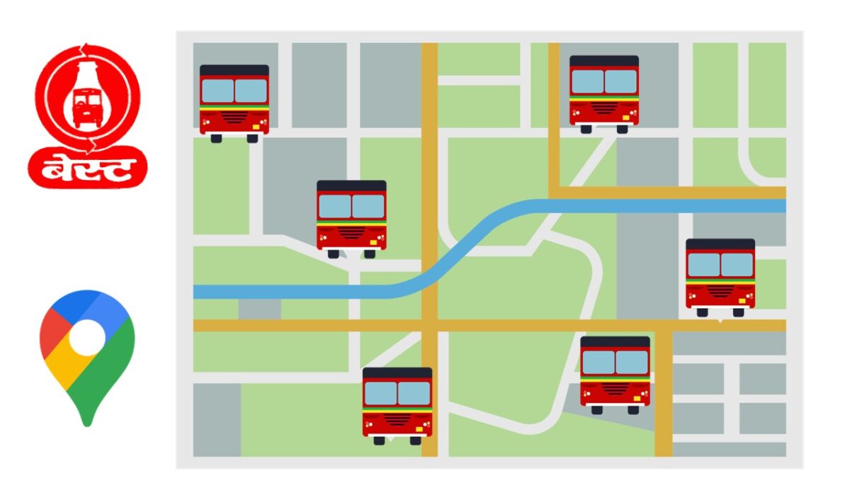
Featured Image: A composite image made by me. Logos copyright BEST and Google. Map Background by Luz Eugenia Velasquez on Vecteezy and the BEST bus vector by Samuel Sathiyanathan.
![]()
![]()
That is really interesting, You are an excessively skilled blogger.
I have joined your feed and sit up for in search of extra of your excellent post.
Also, I have shared your website in my social networks
I am really thankful you for this impressive piece of writing at here.