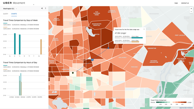
Uber recently debuted its new Platform, Uber Movement (http://movement.uber.com) which will offer users access to its traffic data.
According to Uber’s blogpost on the same, Movement is meant to be a website that uses Uber’s data to help urban planners make informed decisions about our cities.
Now this might actually work out to be the best thing to happen to us!
Let us take Mumbai and Bengaluru as an example.
Both BEST and BMTC and an eTicketing system and an ITS with a vehicle tracker in place. With these two systems, the transco is able to:
- Place the bus on a map.
- Compute the number of tickets sold on different stages of different bus routes.
- Superimpose the two onto a single dataset to identify where maximum passengers are and and what time. Using this data, one can come to the conclusion of time taken between two stops, and what time people are more or most likely to catch the bus.
Now, what can Uber’s data add to this dateset:
- Average traffic conditions. While this can be ascertained using the Vehicle Tracking in Buses as well, Uber’s data is bound to be a little more accurate.
- Alternative routes between two points. Since Uber relies on Google Maps for its navigation, it normally is able to plot multiple routes from Point A to Point B. This data can be used to launch additional bus routes.
The purpose of a Public Transport Undertaking like BEST or BMTC using Uber Movement’s data is to provide streamlined traffic flow.
Now let us take a real-world example:
Bengaluru
Building up on a previous post (Stuck in Traffic: How I Might Have Averted a Major Jam), let us assume that one would have to travel between Arekere Gate on Bannerghatta Road and the junction of 5th Main and 17th Cross in HSR Layout. As discussed earlier, there are two main routes. Traffic data from Google, Uber and BMTC’s ticket sales would be able to place things on a map. Since BMTC does not have a smart card system in place, it would be difficult to ascertain if the passengers disembarking at Jayadeva are taking a bus towards HSR Layout. If it did have a Smart Card system, or load passes onto an RFID card, this could be ascertained easily.
BMTC can then, based on traffic movements and passenger loads, introduce minibuses between Arekere and HSR Layout via Bomanahalli during peak hours.
Mumbai
Here, let us assume that one has to travel from Cadbury Junction, Thane to SEEPZ, Andheri.
Buses have two routes. Some of them like AS-422 take the Cadbury Junction-Marathon Chowk, Mulund Check Naka, Bhandup, Powai Route. Some, take the direct route by continuing on the Easter Express Highway and taking a right turn onto the Jogeshwari Vikhroli Link Road and then proceeding on to SEEPZ. Uber Movement can help BEST figure out when there is maximum congestion, and using its dataset on how many passengers and where they travel from and to, plan a more optimal route.
At the end of the day, Uber Movement is nothing revolutionary, it is merely Google Maps with a little more data, but more data is good for all of us.
What Uber Movement will certainly help us with is planning of land acquisition for newer transit projects, wider roads, metro lines, et al. But those are capital intensive projects. Newer bus routes would be the first step to implementing a full-scale transformation project. It will help make the city’s people smart, irrespective of whether city itself is smart or not.
![]()
![]()
This does look like an idea that will prove to be helpful to curb the traffic woes. With the technological advances that we have made, it is necessary to make best use of it to reduce our daily burdens.
It is amazing how such ideas have manifold results like you mentioned in the last para. While laymen like me could only think of the reduction in traffic, I never thought of the ease in all those capital intensive project planning you mentioned.